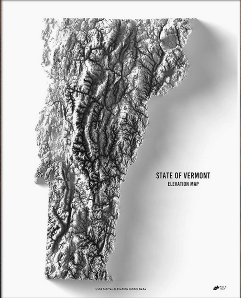
Explore the diverse and beautiful terrain of Vermont and all of its distinctive character revealed within the detail of this relief map. Through the use of DEM data from the USGS, we magnified the features of its terrain by exaggerating their elevations and applying hillshade. The effect is one that will provide you with endless opportunities to investigate the compelling landscape of Vermont. Archival fine art paper - 21 gsm, 100% cotton, acid-free. Archival canon ink - rated to last 100 years. Frames are not included with the prints. Made in the USA
Made in United States of America